View the Brushy Creek Regional Trail Photo Gallery. Turn on the captions to get the full story. Learn how at the Photo Galleries Guide.
Brushy Creek Regional Trail is a nature and sports enthusiast’s treasure trove of fun, fitness & fellowship. Trail users are diversified by age, race and athleticism but they are united in their love of the trail (and the parks that connect to it) which abounds with nature, wildlife, recreation, sports and social activities.
Located in Cedar Park and Round Rock, Texas, just barely north of the Austin city limits, Brushy Creek Regional Trail, or BCRT, is a designated USA National Recreation Trail that runs along Brushy Creek and borders one side of Brushy Creek Lake.
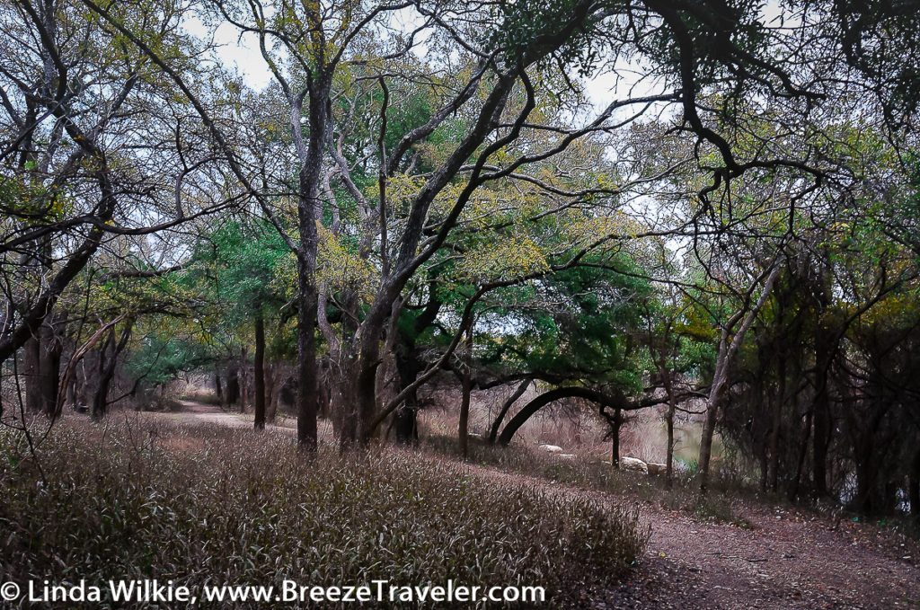
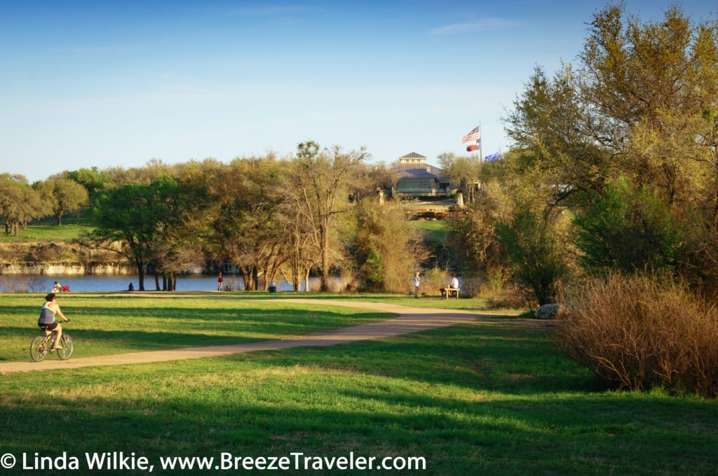
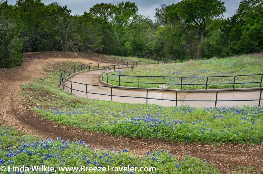
The 6.75 mile long end-to-end, 13.50 mile loop, hike and bike trail is made up of pavement and crushed granite, as well as dirt and rock off-trails for hiking and birding.
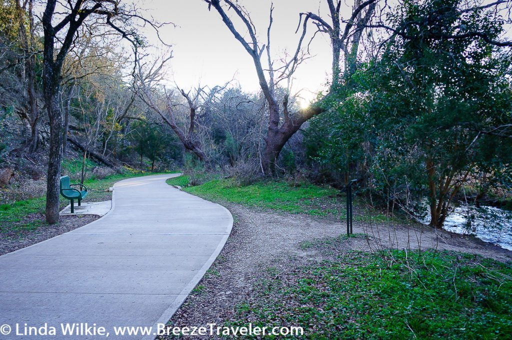
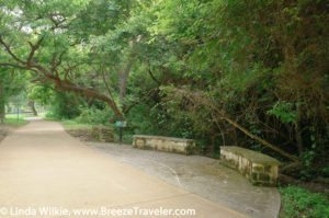
A bench alongside the pavement with a view of the babbling brook at Brushy Creek Regional Trail, Cedar Park, Texas.
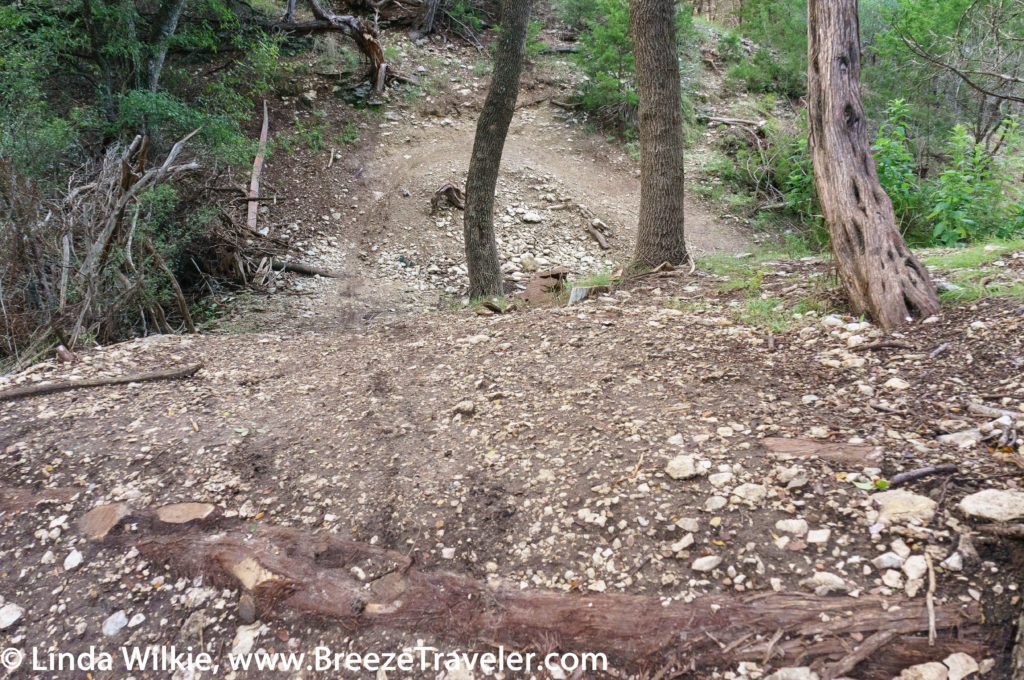
There are also challenging dirt and rock single track biking trails developed by the active biking community that uses the trail.
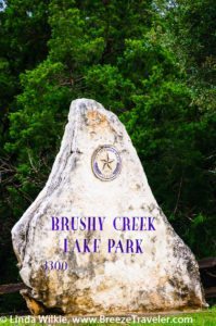
The trail can be accessed from any of the six amenity-laden parks which connect to it but Google Maps’ directions to the trail point to the Brushy Creek Lake Park entrance. Note that Brushy Creek Lake Park hours are listed on the website as being from sunrise to sunset but the sign posted on the park gate states that the park opens at dawn and closes at 10:00 p.m.
The trail west of Brushy Creek Lake Park leads first to Brushy Creek Sports Park and then Twin Lakes Park and to the east it leads to Champion Park, Olson Meadows Park and Creekside Park, respectively.
Each park has parking, restrooms and water fountains. However, the restrooms at Olson Meadows Park are accessible only by keys purchased by residents of the Fern Bluff MUD.
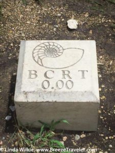
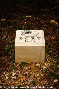
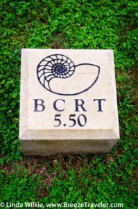
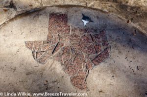
The trail map depicts the six park locations, notes where all of the public access restrooms are located and their distances from each other beginning with Creekside Park. Distance on the trail is clearly marked by concrete blocks etched with quarter mile increments.
Reading the map and using mile markers along the trail can be confusing because the trail map begins the distances from the east end of the trail, which is Mile Marker 6.75, not the beginning of the trail at Mile Marker 0.00, which is located at the west end of the trail, adjacent to the parking area of the Twin Lakes YMCA entrance at 204 East Little Elm Trail.
It may be helpful to simply note that Creekside Park restrooms are located at Mile Marker 5.50.
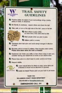
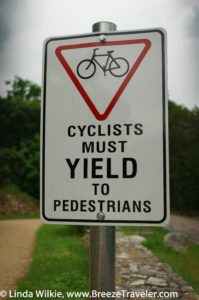
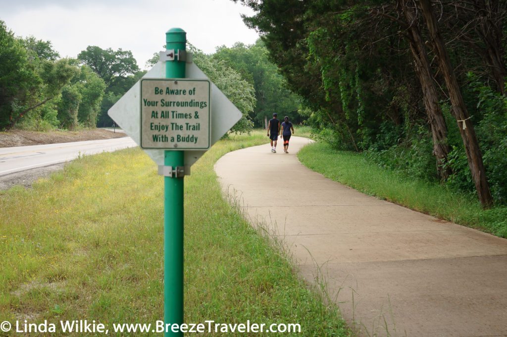
The BCRT management’s commitment to users’ safety is evidenced in the signage all along the course. A summary of the Trail Guidelines is posted at the bridge located at approximately Mile Marker 5.0, just before Olson Meadows Park when traveling east. Signs are posted along the trail with rules on the front and courtesy messages on the back reminding users to follow the rules, use their best manners and follow safe practices while on the trail.
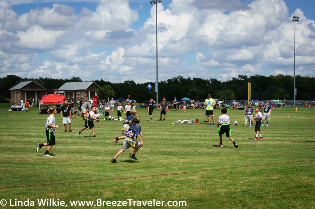
The parks that connect to the trail are a social hub for the communities they serve. People gather at them for sports competitions, recreation, birthday parties, group events and just to meetup and walk with a buddy.
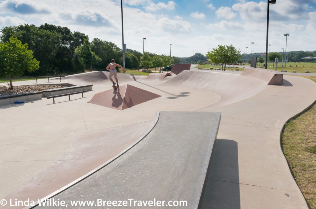
Activities at the various parks connected to the trail include sports such as baseball, softball, football, soccer, lacrosse, rugby, basketball, skateboarding, disc golf and volleyball.
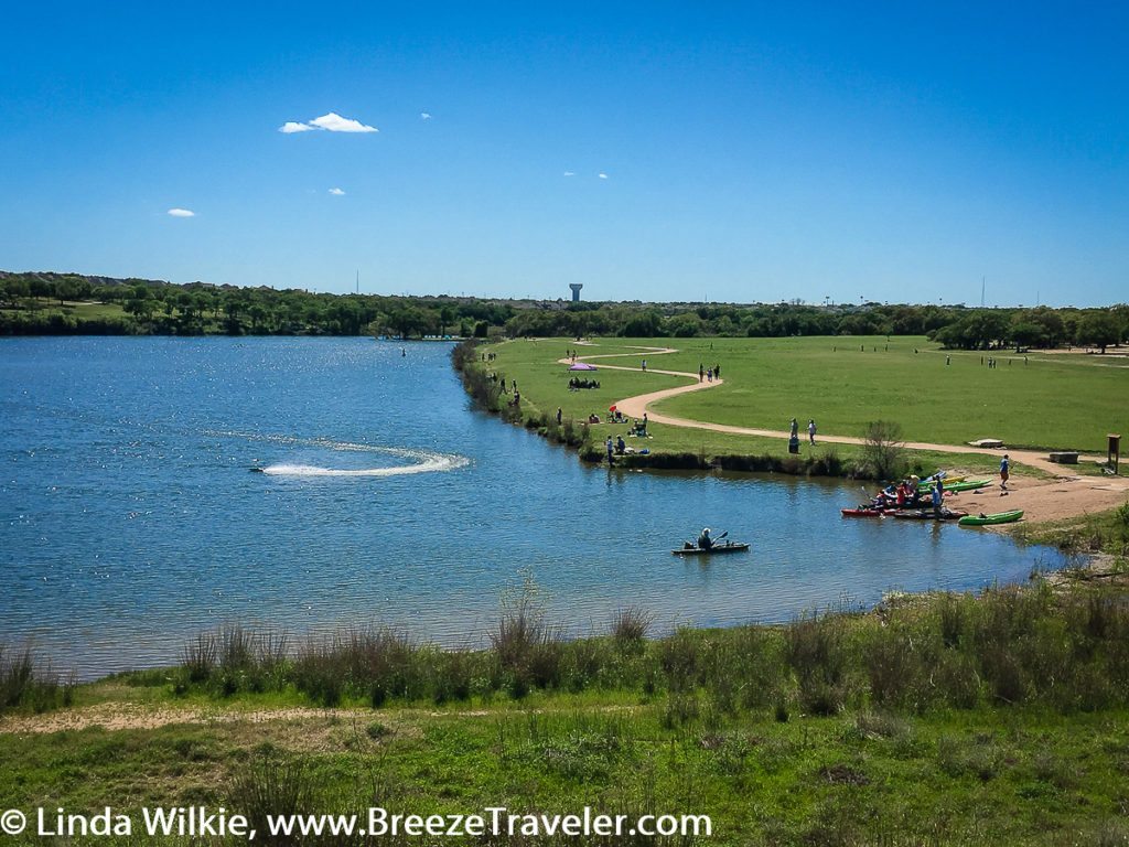
Canoeing, kayaking, stand-up paddle boarding and fishing, from non-motorized boats, the pier or the shore, are popular lake pastimes.
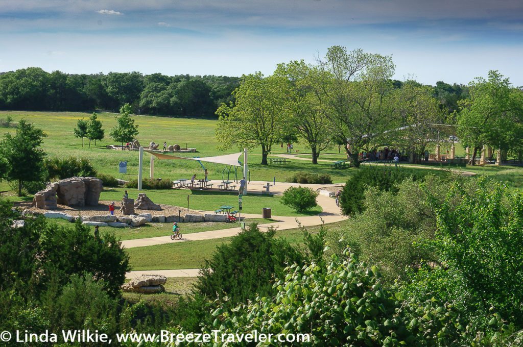
All of the parks have children’s play equipment. Splash pads are located at Brushy Creek Lake Park and Champion Park. Some parks have pavilions and grills but all have picnic tables.

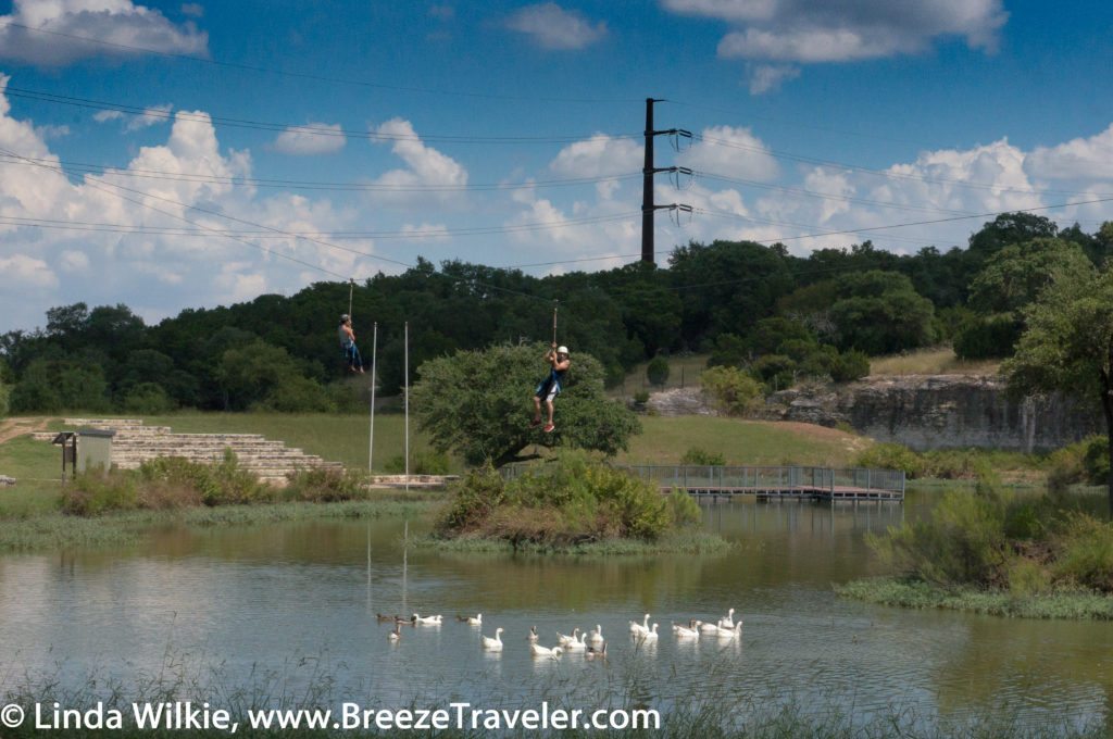
The Duck Pond, at Shirley McDonald Park, is a fun place for kids, adults and pets to play, sit and contemplate and/or fish.
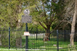
Additional features along the trail east of Brushy Creek Lake Park include the dam overlook bridge, which is closed for repairs until its projected April 2017 re-opening (signs point to the alternate trail route), Champion Cemetery, Shirley McDonald Park (the Duck Pond), the Hairy Man illustration and Fern Bluff and its placard.
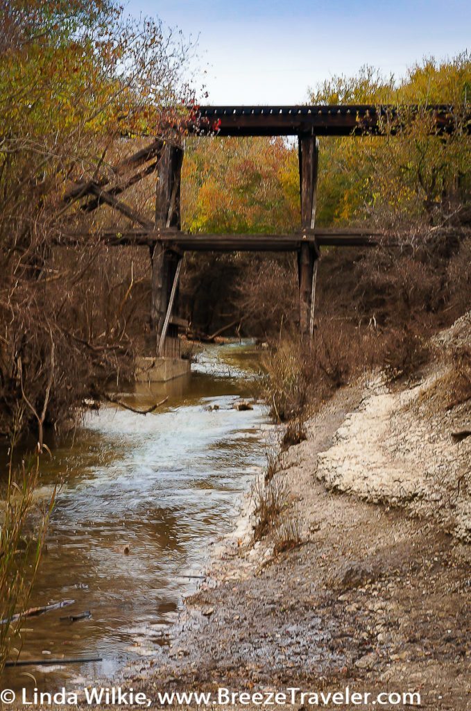
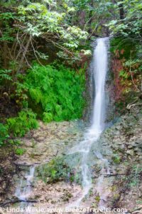
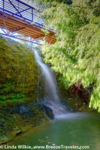
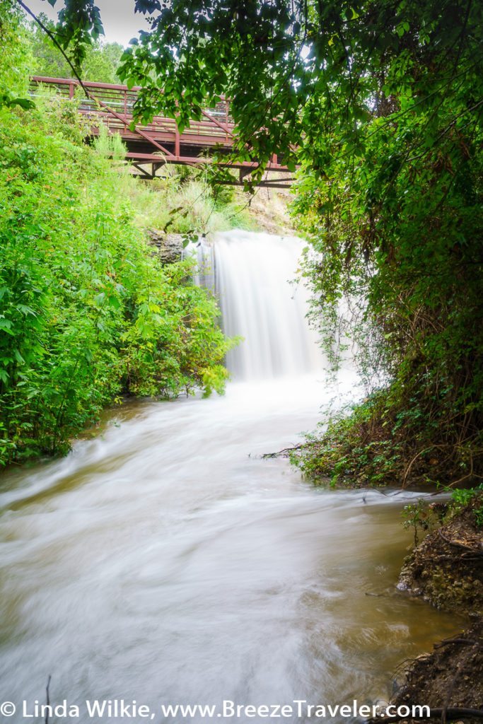
Special sights along the trail to the west of Brushy Creek Lake Park are the old train bridge, which is still used by the Austin Metrorail, the Granite Rock Display, Fern Waterfall (when there has been substantial rain in the area) and the Twin Lakes Trailhead Bridge Waterfall.
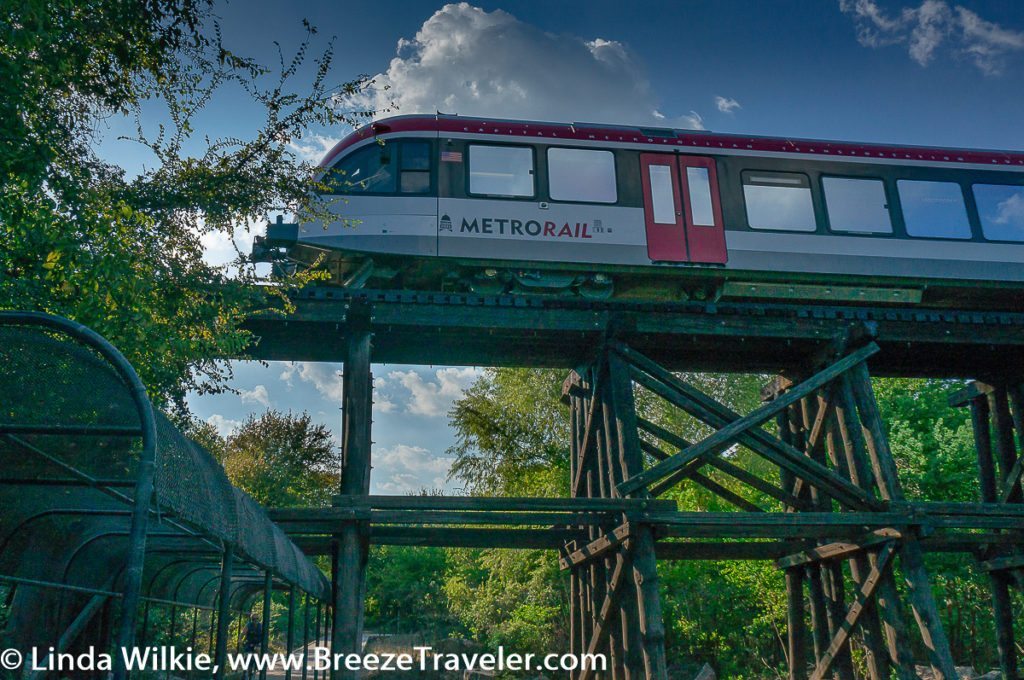
The Austin Metrorail commuter train passes over Brushy Creek Regional Trail on the old wooden train bridge.
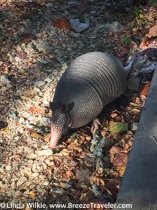
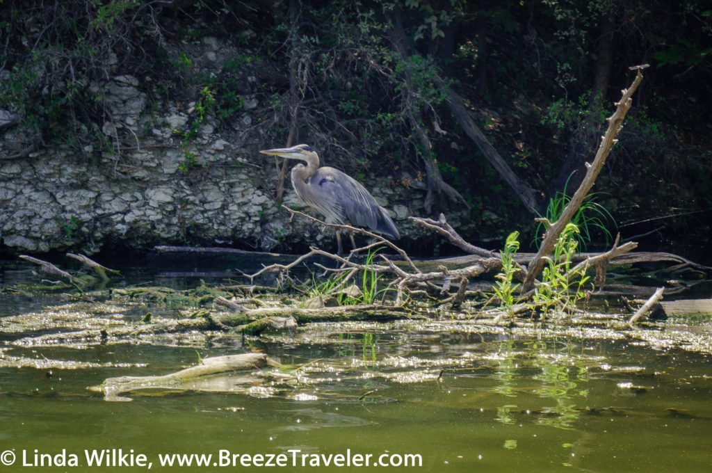
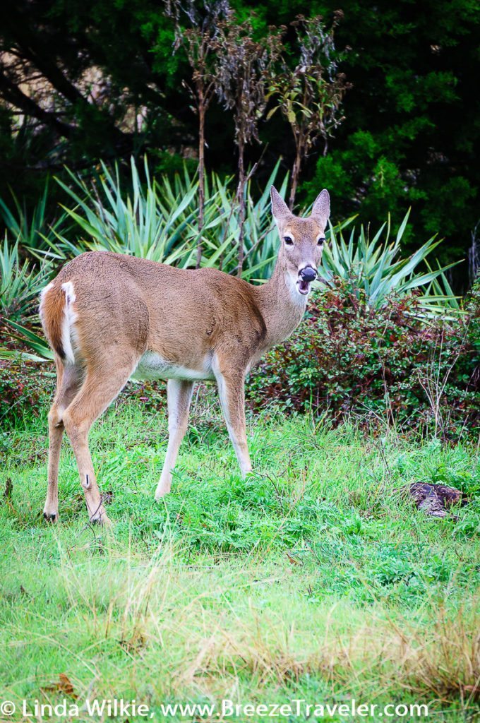
Birds, deer and other forest animals frequent the trail and the connecting parks. It’s not uncommon to see trail users stop, grab their cell phones and snap shots of them crossing the trail.
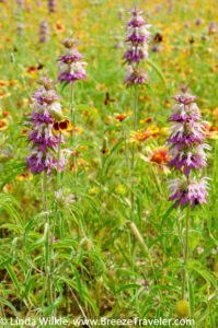
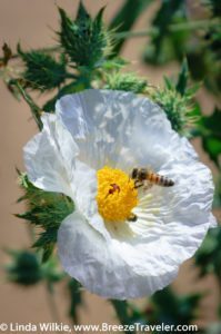
Wildflowers in bloom paint the landscape with vivid colors of the season.
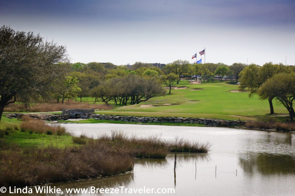
Across the lake from the trail and Brushy Creek Lake Park are scenic views of Austin’s Avery Ranch Golf Club and stone bridge.
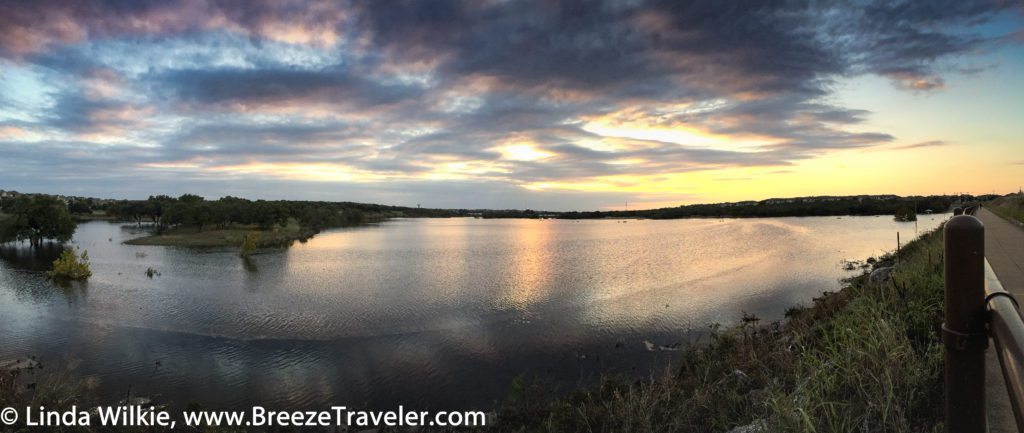
When the dam overlook bridge is accessible, views from it offer gorgeous lake sunsets crowning perfect days spent on the trail and at the parks, sometimes accompanied by the soft, melodic sound of an orchestra playing for a special event at the Avery Ranch Golf Club Event Center.
Perhaps the best feature of all is that admission to the trail and each of the parks is free!
Brushy Creek Regional Trail, Williamson County Parks & Recreation, 512-943-1920. Brushy Creek Lake Park Entrance, 3300 Brushy Creek Rd., Cedar Park, Texas 78613.
View the Brushy Creek Regional Trail Photo Gallery. Learn how to turn the captions on at the Photo Galleries Guide.
We strive for accuracy in the information provided here. Please notify us in the contact area of any errors or omissions so that we may update our post.

